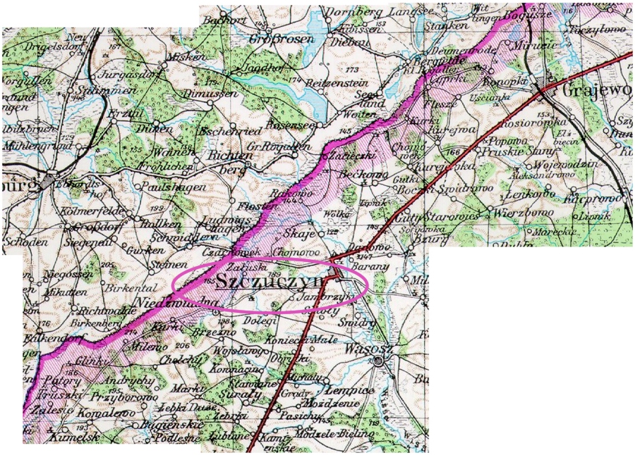
Szczuczyn was less
than 5 miles to
the East of the Prussian/Russian border
Map was originally made up of 5 overlapping small "quadrants" for lack of a
better word,
then carefully matched up, removing the overlap, and creating one combined
image, as seen here.
Larger version available.
The web site which contained these map sections no longer exists.

 Return to